Plans for renovating an intersection of roads, trains and pedestrian pathways adjacent to Boston University’s West Campus took shape last week after State officials held a Sept. 29 meeting on what’s poised to be the region’s next infrastructure megaproject.
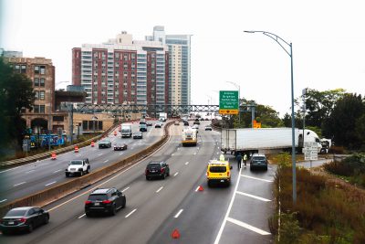
The Massachusetts Department of Transportation will focus on grounding Interstate 90, which runs between the neighborhoods of Allston and Brighton, along with building a new commuter rail station and enhanced pedestrian pathways.
MassDOT renderings show all of the major highway’s travel lanes would be de-elevated, replacing the current ‘Allston Viaduct’ configuration of overlapping ramps.
A finalized design would mark a major milestone for the Allston Multimodal Project that began development in 2014, according to the state website.
Tucked between university housing on West Campus and the Charles River, the current layout of roads, railroads and bike lanes resemble a “spaghetti ball” to Vineet Gupta, director of planning at the Boston Transportation Department. Grounding the highway would mean the cluster of infrastructure becomes organized more efficiently.
“It’s definitely one of the largest, if not the largest, highway projects that will be based in Boston since the Big Dig,” Gupta said about the proposal, which will reportedly cost over $1 billion.
The creation of West Station, a new commuter rail stop on the Worcester/Framingham line in Allston, will improve “regional mobility and roadway safety,” according to MassDOT.
“[The station] can be used by people at the BU campus and in the surrounding residential areas,” Gupta said. “So that would be a major new amenity for the neighborhood.”
Gupta added that while construction may take 10 years to complete, documents from MassDOT indicate the design phase would carry into the end of 2023, and the construction phase could last between six to 10 years.
Gupta also said that there would likely be only minimal impact on commuters from West Boston. He said with projects of this magnitude, bypasses are generally available for drivers so they are not majorly impacted by construction, comparing it to the Charlestown Bridge replacement project.
“It’s like if we’re building a new bridge from downtown Boston into Charlestown, and to build that new bridge we’re actually building first a temporary bridge to divert all the traffic,” he said. “You’ll find similar things happening over here.”
Charles River Watershed Association Executive Director Emily Norton, however, expressed concerns about the megaproject’s impact on the environment.
“The real bottleneck on the MassPike is at Newton Corner, it’s not in Allston,” Norton said. “So this really isn’t going to have an impact there. It’s just a really, really irresponsible use of taxpayer dollars to overbuild.”
Norton’s concerns include the repercussions of a boardwalk built over the Charles River to accommodate travelers during the construction process, according to a statement sent to MassDOT during the public comment period.
Norton wrote construction of the bridge could interfere with fish navigation and plant growth, and sediments with toxic chemicals could be stirred up and potentially harm both humans and animals.
Norton also stressed that future climate change could have an impact on the new areas of road.
“This area is very, very vulnerable to flooding in its climate change scenario, which is what we’re under now,” Norton said. “We have not seen how they would deal with that.”
Norton also wrote in an email that the construction contradicts the City’s “Go Boston 2030” initiative, which aims to cut car trips in Boston by half by 2030.
“It’s just frustrating in 2021, when we are really trying not to be so car-centric, that we are planning on investing over a billion dollars on a very car-centric approach,” Norton said.
Article was updated 10/6 to correct a factual mistake on the number of lanes the project would create.

