


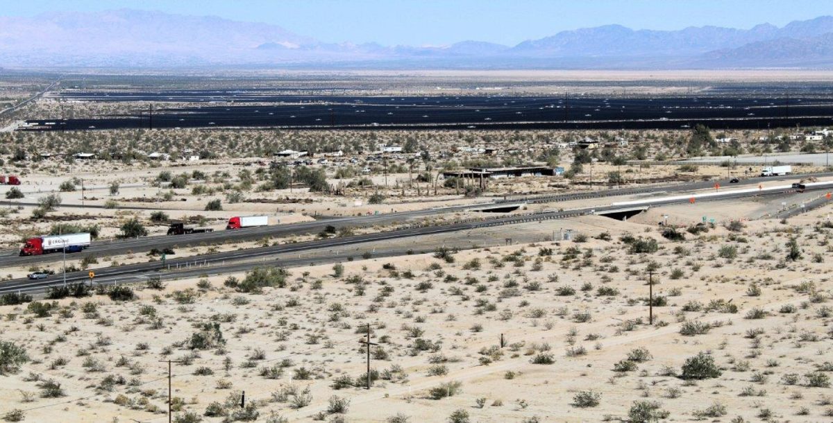


While it may seem farfetched to imagine northern Africa’s Sahara Desert alive with thick vegetation and giant freshwater lakes, radar imaging is helping researchers see through the desert’s endless sand dunes to ancient underground lakes.
In his latest search for water buried beneath the Sahara’s sands, Boston University Remote Sensing Center Director Farouk El-Baz recently discovered an ancient lake, approximately the size of Massachusetts, in the northern Darfur region of Sudan, according to an April 11 university press release.
El-Baz said he plans to visit Sudanese government representatives in May to discuss the possibility of drilling into the underground reservoirs and helping Darfur provide water to refugees. The lake could also stimulate the country’s agricultural development.
“The potential for water might help the people in Darfur, especially the refugees,” El-Baz said. “I personally believe that most of the human disaster in Darfur . . . is the scarcity of water as a resource.”
El-Baz said if plans run accordingly with the Sudanese government, wells may be drilled down to the lake within a few months, along with pipelines to transport water by next year.
BU research assistant professor Eman Ghoneim, El-Baz’s colleague in the ancient lake endeavor, said she helped find the lake by using satellites to scour the Sahara for periohydrology — ancient water sources — and then using mapping and imaging technology to study the area’s landscape.
“It came to me by complete surprise,” Ghoneim said. “I just found a very long shoreline almost 250 kilometers in length buried beneath the sand in northwestern Sudan.”
El-Baz said his inkling to search the Sahara for water was based on inference. Instead of believing desert sand is formed by wind as he was taught, El-Baz suspected that it was instead formed by running water.
“Archaeologists have been finding things that show that human beings were in some places in northern Sudan,” El-Baz said. “When you see human beings, you see there must have been animals, and when you see animals, there must have been plants . . . and the plants need water, so you know . . . you’re standing in a place where there must have been water.”
Although El-Baz and the Remote Sensing Center have confirmed the buried megalake’s presence in Sudan, they will continue exploring the Sahara in search of more underground water sources and giant crater impacts.
“It is a great discovery, and it will support a lot for the groundwater exploration,” Ghoneim said.
It is possible that oil is under the desert because of thick concentrations of sediments found in great underground depressions, El-Baz said. Although oil is released when organic material decomposes in rock layers, it is not certain whether oil actually exists beneath the Sahara. El-Baz said there is the potential for its existence because oil has been found just south of the region.
In the early 1980s, El-Baz had used radar-imaging technology, new at the time, to find his first ancient megalake, beneath the Egyptian desert. El-Baz discovered the giant lake through photographs taken by RADARSAT, a photo-imaging technology that captures images through sand, and Landsat satellites, which observe topographic differences in rocks.
After his initial discovery, El-Baz spent two decades negotiating with the Egyptian minister of agriculture, Youssef Wali, until the Egyptian government launched a project offering 200,000 acres of desert land for companies to lease for farming. Since the 1980s, 500 wells were drilled down to the ancient lake and were soon sustaining crops, including wheat and chickpeas.
“It was just incredible to see that a plantation in the middle of nowhere in the desert could produce something as basic as wheat and make money the first year, so that’s wonderful,” El-Baz said. “So now we had a whole new vision of that kind of desert.”